Danau Lindu or Lake Lindu, situated in Lindu District of Sigi Regency in Central Sulawesi Province, Indonesia, is nestled within the enchanting Lore Lindu National Park. Spanning an expansive area of 34.88 km² and boasting an average depth of 38 meters, this captivating lake rests at an elevation of approximately 1,000 meters above sea level. Ranking as the eighth largest lake on Sulawesi Island and the second largest in Central Sulawesi Province, only surpassed by Lake Poso, Lake Lindu holds a prominent position within the region.

Lake Lindu belongs to the category of tectonic lakes, formed during the Pliocene epoch when a significant basin emerged as a localized result of powerful geological forces acting upon a portion of a mountain range. Geologically, the lake is situated within the Palu-Koro Fault region, which spans from Palu Bay to the Leboni River, effectively dividing Sulawesi Island. Embraced by the surrounding mountains, including Mount Nokilalaki, Mount Lantawungu, and Mount Tumawu, Lake Lindu enjoys a picturesque setting. A network of 16 primary rivers contributes to its water supply, with the Kati River, Lambosa River, Langko River, and Wongkodono River standing out as the four largest tributaries. The lake’s outlet is the Rawa River, which subsequently merges with the Gumbasa River, an important tributary of the Palu River.
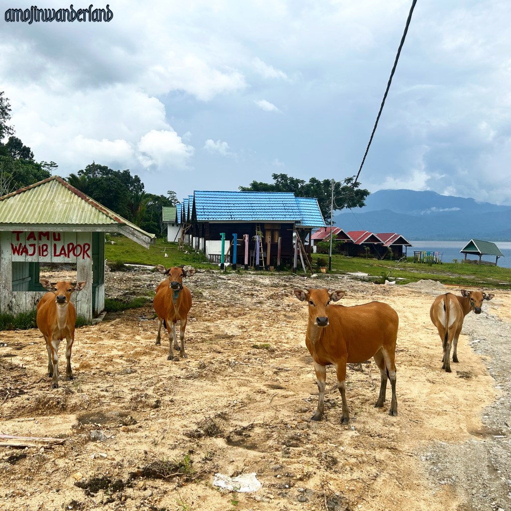
Lake Lindu serves as a vital water source, supplying water to meet the needs of the nearby residents and supporting the agricultural sector in the surrounding areas. Moreover, the lake holds significant cultural and communal importance as it serves as the primary livelihood source for the people in the villages. There are five villages namely Puroo Village, Langko Village, Tomaso Village, Anca Village, and Olu Village which are located on the shores of Lake Lindu. Langko, Tomaso and Anca are known as the territories of the Lindu indigenous people while Puroo is considered a migrant village as it was established in the 1960s when local transmigrants occupied the area.
